
Programme
Wednesday 27 May 2015
![]() 08.30-09.00 Registration to the intensive course (only for the Workshop participants) - Venue: Corfu Historical Archives - Reading Hall
08.30-09.00 Registration to the intensive course (only for the Workshop participants) - Venue: Corfu Historical Archives - Reading Hall
09.00-12.30 Georeference for non-experts [ see webpage ]
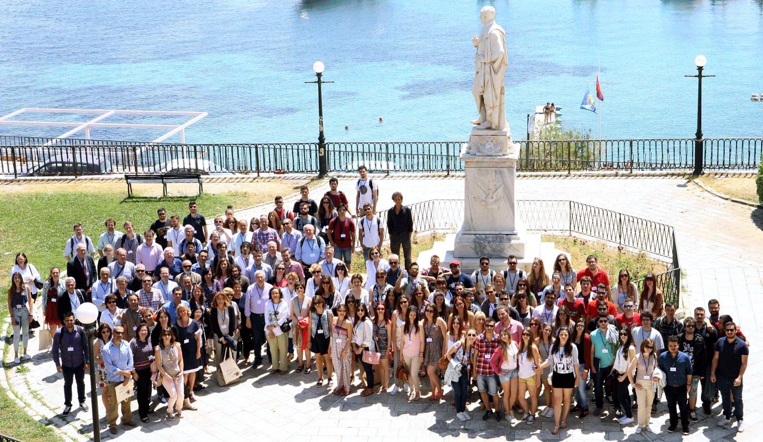
12.30-13.00 Break | Tutorial Group Photo
13.00-16.00
Georeference for non-experts
![]() 17.30-18.00 Registration to the Conference - Venue: Ionian University/ Ionian Academy - Aula Magna [ see webpage ]
17.30-18.00 Registration to the Conference - Venue: Ionian University/ Ionian Academy - Aula Magna [ see webpage ]
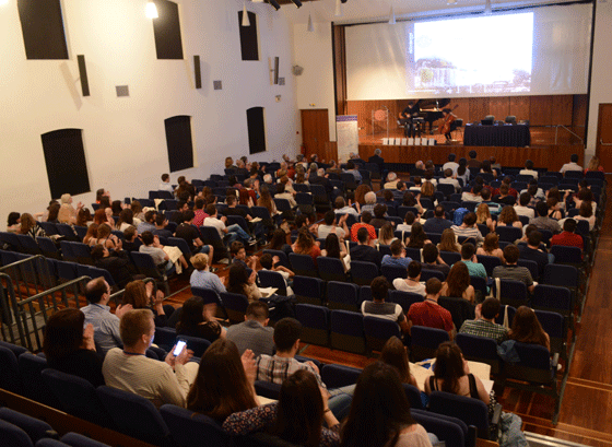
18.00-20.00 Welcome, Introduction, Musical Intermezzo, HonoursOPENING CEREMONY
Chair: D. ANOYATIS-PELÉ | E. LIVIERATOS
Welcome
- Rector, Ionian University
- ICA Secretary General
- Faculty Dean, Ionian University; welcome speech in fr | en | el
- President, General State Archives of Greece
Introduction
- ICA Commission Chair [see the animated gif]
Musical intermezzo Dimitris SOUKARAS, guitar; Anna ZINELI, flute; Thanos GOUTOS, guitar; Despina SPANOU, cello - Students, Dept of Music Studies, Ionian UniversityThree music clips [ 1 ] [ 2 ] [ 3 ]
Honorary Distinctions awarded to 8 Institutions and persons who supported in various important ways the Commission works and its Conferences in the last 10 years
From right to left (enlarge): L. Zentai, ELTE; C. Montaner, ICGC; D. Tsoulis, AUTH-SRSE; A. Tourta ECBMBM; D. Anoyatis-Pelé, IU; E. Livieratos, ICA Commission Chair; A. Sali-Papasali, IU Rector; A. Nikiforou, GSA Deputy Head; L. Tsoulos, HCS; F. Guerra, IUAV
Dr Carme MONTANER Head, ICGC Map Library, Barcelona
Prof. Francesco GUERRA Head, IUAV Photogrammetry Lab., Venice
Prof. László ZENTAI Head, ELTE Cartography Dept, Budapest
Prof. Dimitrios ANOYATIS-PELÉ Dean, IU Fac. History & Translation-Intepreting, Corfu
Prof. Dimitrios TSOULIS Chair, AUTH-SRSE School Rural & Surveying Engineering, Thessaloniki
Prof. Lysandros TSOULOS Chair, HCS Hellenic Cartographic Society; NTU Athens
Prof. Nikos KARAPIDAKIS Chair, GSA General State Archives of Greece; IU
Dr Anastasia TOURTA Head, Europ. Centre Byzant. & Post-Byzant. Monum. Thessaloniki; Dir. Emer., Hellenic Min. of Culture
- The distinctions to the honourees are delivered respectively by:
Prof. Anastasia SALI-PAPASALI Rector, IU
Prof. Sarantos KAPIDAKIS Dean, IU Fac. Information Sciences & Informatics
Adm. (rtd) Alexandros MARATOS Past President, IHB International Hydrographic Organisation
Prof. Miljenko LAPAINE Chair, ICA Comm. Map Projections; University of Zagreb
Prof. Rehav RUBIN, Hebrew University of Jerusalem
Prof. Leonardo ROMBAI, University of Florence
Dr Paolo BUONORA Head, State Archives of Rome
Prof. Evangelos LIVIERATOS Chair, ICA Comm. Digital Technologies in Cartographic Heritage; AUTH
- ICGC: Cartographic and Geological Institute of Catalonia, Barcelona; IUAV: University IUAV of Venice; ELTE: Eötvös Loránd University, Budapest; IU: Ionian University, Corfu; AUTH: Aristotle University of Thessaloniki; NTU: National Technical University; IHB: International Hydrographic Bureau; ICA: International Cartographic Association ]
Ice breaking


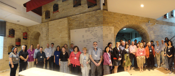
The Conference participants
Thursday 28 May 2015
![]() 08.00-09.00 Registration to the Conference - Venue: Ionian University/ Ionian Academy - Aula Magna
08.00-09.00 Registration to the Conference - Venue: Ionian University/ Ionian Academy - Aula Magna
SESSION 1 - GLAM, Digital, Web - 1
Chair: M. VAN EGMOND | J. GLIŠOVIĆ
09.00-09.15 ZENTAI L.: Cartactual, something special to preserve (and make publicly available) as a Cartographic Heritage: from paper
maps to Cartography 2.0
09.15-09.30 MONTANER C, R. ROSET: Maps, after all
09.30-09.45 LEVY-RUBIN M.: Creating a comprehensive digital map collection through international cooperation: maps of the Holy Land
09.45-10.00 VARDAKOSTA I., S. KAPIDAKIS: Suggestions for developing geospatial collections in Greek academic libraries
10.00-10.15 ŠOLAR R.: Map collections – how to survive?
10.15-10.30 BIDNEY M.: Rediscovering the Tira de Santa Catarina Ixtepeji
10.30-10.45 BALLETTI C., A. CEREGATO, C. GOTTARDI, F. RIZZI, A. VIANELLO: 3D digitization and web publishing of an ISMAR cartographic heritage: historical maps of Venice Lagoon
10.45-11.00 Discussion
11.00-11.15 Break
SESSION 2 - Aerial Photography
Chair: M. GEDE M. | M. MILETIĆ-DRDER
11.15-11.30 DUPONT H.: Experience with crowd sourcing historical aerial photographs and new use of this result
11.30-11.45 CALZAVARA M., F. CONTÒ, F. GUERRA, M. MAZZANTI, V. TSIOUKAS, P. VERNIER: Creation of DTM and orthoimage of Delos and Cephalonia Islands from old aerial photographs. A new approach.
11.45-12.00 RUBIN R.: Digital accessibility to early topographical maps and geo-referenced air-photographs of Israel
12.00-12.15 BALLETTI C., F. GUERRA, V. TSIOUKAS, P. VERNIER: A novel approach for the calibration and reuse of old camera images
12.15-12.30 Discussion
12.30-14.00 Lunch Break
SESSION 3 - Projections, Georeference
Chair: M. LEVY-RUBIN | R. ROSET
14.00-14.15 GEDE M., Á. BARANCSUK: Determining the projection of small scale maps based on grid line shapes
14.15-14.30 TSORLINI A., L. HURNI: On georeferencing and re-projection of old maps using different software applications: comparing methodologies and results
14.30-14.45 LAPAINE M.: Map projection reconstruction of the World map by Leonardo da Vinci
14.45-15.00 TRIPLAT HORVAT M., M. LAPAINE, D. TUTIĆ: Problems in standard parallels reconstruction
15.00-15.15 PŘIDAL P.: Crowdsourcing georeference. A case study on a national project
15.15-15.30 Discussion
15.30-15.45 Break
SESSION 4 - Maps, Texts, Geoinformation
Chair: H. DUPONT | M. BIDNEY
15.45-16.00 SIMON R., E. BARKER: Annotation of maps and geographic documents with Recogito
16.00-16.15 BOUTOURA C., D. ANOYATIS-PELÉ, D. EFTAXIA, E. LIVIERATOS: Links of maps and relevant textual data in early 19th century cartography of Greece. A digital case study for representations of Peloponnese
16.15-16.30 PACINA J., J. CAJTHAML: Landscape memories hidden in the map archives. From old maps to complete 3D landscape
reconstructions
16.30-16.45 ABSHIRE C., D. GUSEV, I. PAPAPANAGIOTOU, S. STAFEYEV: A mathematical method for visualizing Ptolemy's India in modern GIS tools
16.45-17.00 LAVINS I.: Mediterranean coordinates in “Kitāb Al Qānūn al-Mas‘ūdī” by al-Bīrūnī
17.00-17.15 CHODĚJOVSKÁ E., J. PACINA, J. POPELKA: How to understand the XVII-century-mappers? The 1st military survey of Bohemia transformed into a comprehensive information system
17.15-17.30 CRUCERU A. I.: Saac County during the Phanariote Regime (1716-1821). A historical and cartographical approach.
17.30-17.45 Discussion
Friday 29 May 2015
![]() 08.00-08.45 Registration to the Conference - Venue: Ionian University/ Ionian Academy - Aula Magna
08.00-08.45 Registration to the Conference - Venue: Ionian University/ Ionian Academy - Aula Magna
SESSION 5 - Processing, Interpretation
Chair: R. ŠOLAR | E. GUZAUSKYTE
08.45-09.00 DE MAYER PH., Κ. DE COENE, Β. DE WIT, Κ. OOMS, Μ. VAN DEN BERGHE, S. VRIELINCK, T. WIEDEMANN, A. WINTER, I. DEVOS: Conceptual approach and implementation of a geographical database of early modern Flanders and Brabant
09.00-09.15 BUONORA P., S. LE PERA, P. MICALIZZI: Descriptio Urbis – A WebGIS to reconstruct urban landscapes of Rome
09.15-09.30 ARIOTI E., G. BITELLI, G. GATTA: Geomatic and archival sciences applied to the Gregorian Cadastre of Bologna (Italy) for analysis and representation of the XIX century urban arrangement
09.30-09.45 KOUSSOULAKOU A., ANDREANIDOU I.: On common ground: georeferencing a time-sequence of historic maps
09.45-10.00 NOVOTNÁ E.: Search for digitized cartographic materials on the example of the TEMAP project
10.00-10.15 ANOYATIS-PELÉ D., I. ATHANASOPOULOU, C. TSIAMIS: Cartographic heritage in the historical study of public health: the case of Mediterranean Lazzarettos
10.15-10.30 Discussion
10.30-10.45 Break
SESSION 6 - Geographic Affinities
Chair: G. GATTA | B. MICHEV
10.45-11.00 MIHALAKOPOULOS G.: Alexandros Massavetas’s “Going back to Constantinople-Istanbul: a City of Absences”: Mapping the past and the present through literature
11.00-11.15 BUTEREZ C. I., A. POPA, R. GAVA, R. DUMITRU, A. GRUIA: On the trail of a legend. The legacy of Lady Neaga seen through historical maps
11.15-11.30 GUZAUSKYTE E.: Student-driven, small-scale digital mapping projects in the Liberal Arts
11.30-11.45 PAPADIMITRIOU K.: Literary placenames of Skiathos. Georeferencing the short stories of Alexandros Papadiamantis.
11.45-12.00 SANJAYA E. G., D. A. S. SOERIA ATMADJA, A.B.HARTO: Designing symbols for multicriteria heritage buildings
12.00-12.15 Discussion
12.15-12.30 Conference Group Photo
12.30-14.00 Lunch Break
SESSION 7 - GLAM, Digital, Web - 2
Chair: A. ANCEAU A. | E. CHODEJOVSKA
14.00-14.15 GUARDUCCI A., L. ROMBAI: Map collection of the Hapsburg-Lorraine Archives of Tuscany preserved at the Prague National Archives
14.15-14.30 GLIŠOVIĆ J.: General map of Yugoslav Countries (Karta Jugoslovenskih Zemalja) printed in Corfu and Salonica during the World War I
14.30-14.45 BOUTOURA C., N. PANTAZI, N. PLOUTOGLOU, M. PAZARLI, Ε. DANIIL, E. LIVIERATOS: Setting models of good practice for cartoheritage web providers. Implementation on the Historical Archives of Corfu map collection
14.45-15.00 KOZICA K., A. KUSMIDROWICZ-KROL: The Niewodniczański collection Imago Poloniae at the Royal Castle in Warsaw. Selected problems of cataloguing, digital image capturing and preparing to accessibility in-situ and in the Internet (project draft).
15.00-15.15 Discussion
15.15-15.30 Break
SESSION 8 - GLAM, Digital, Web – 3
Chair: I. VARDAKOSTA | R. VAVERS
15.30-15.45 MICHEV B.: Diverse approaches to digital preservation and access to historical maps in the Library Collection: A formula for success
15.45-16.00 PLOUTOGLOU N., M. PAZARLI, E. DANIIL: On the hunt for a place for maps to stand in the Archives: thoughts and proposals to enhance the digital management of Greek cartographic heritage in the context of the General State Archives of Greece.
16.00-16.15 CABOARA M., S. TSANG: Access to antique maps: digital and intellectual paths
16.15-16.30 PŘIDAL P.: OldMapsOnline 2.0 search engine for maps
Chair: C. MONTANER | E. LIVIERATOS
16.30-17.00 Discussion, Closing
17.15-18.00 Meeting of the ICA Commission on Map Projections (Chair: M. LAPAINE, mlapaine<at>geof.hr)
The Conference Sessions cover issues treated in various Cartoheritage Ecosystems with respect to: map collections; the work and mission of map libraries and map archives in the phase of transition into the Digital; digital analyses of old maps for the benefit of historical research, including scanning/digitisation, georeferencing, map projection and map content comparative analyses; digital preservation; linking textual data with maps; manuscripts and vulnerability under digitisation; the representation, visualisation and publishing methods and techniques; the 3D space implementation emphasising on land and cityscapes; the historical cadastres; the access and communication using Web technologies and to other relevant topics which are currently in discussion internationally